Contribute your own Drupal videocast on installing Cartaro
completed by: Vijay Nandwani
mentors: Varunity
[IMAGE http://drupal.org/files/cartaro_edit_map.png]
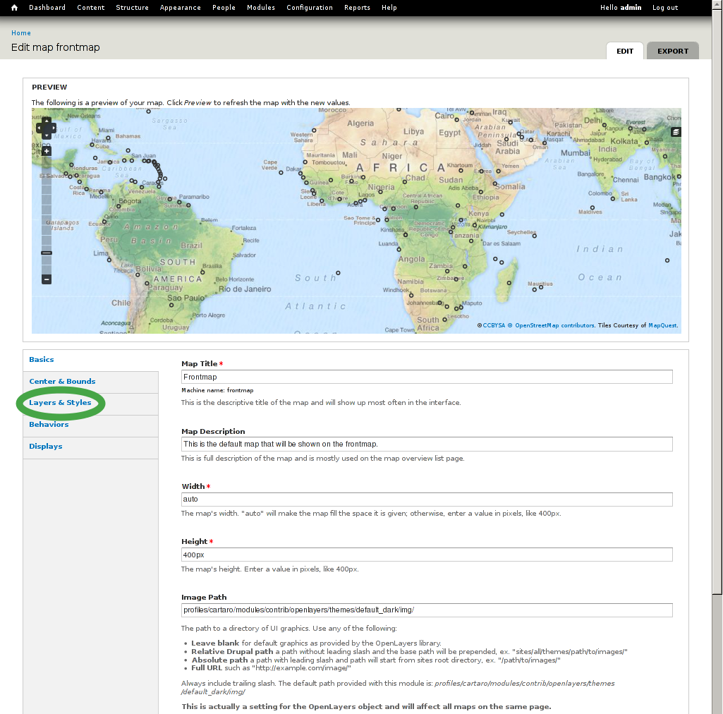
Create a videocast that shows how to get up and running with Cantaro. Cartaro is a Drupal distribution that provides support for spatial data. It seamlessly combines:
- PostGIS (storing of Drupal fields using true spatial data types)
- GeoServer (custom map rendering and OGC compliant web services)
- OpenLayers (publishing spatial data editing on a map)
- OpenLayers Editor (sophisticated feature editing right in the browser)
By using true geometry data types as Drupal content types Cartaro extends the potential of spatial data in Drupal.
Resources:
Installation instructions: https://drupal.org/node/1930064
Cantaro website: http://cartaro.org/
Use the guidelines on this page to create your own Drupal videocast: https://drupal.org/node/62196